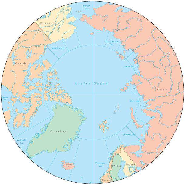
Globe over North Pole Map with Countries and Water Features
Globe over North Pole Map with Countries and Water Features
Regular price
$36.46
Regular price
$36.46
Sale price
$49.95
Unit price
per
BUNDLE & SAVE
Couldn't load pickup availability
-
Ordered
- - -
Order Ready
- - -
Delivered

Globe over North Pole Map with Countries and Water Features
Regular price
$36.46
Regular price
$36.46
Sale price
$49.95
Unit price
per
About This Globe over North Pole Map
Shows country borders country names major rivers lakes roads and cities.
In Illustrator format each country is a separate object you can select and change the color. All lines are fully editable and all text is fully editable font text (not outlines).
Perfect for page size illustrations.
This map is also included in our Premier International collection, including maps of the World in several projections, each of the seven continents, and sub-continent areas.
If you need a map like this one showing a different area, please contact our Custom Mapping Services.